DataMapWales Help
Below you will find a selection of short instructional videos. These videos have been created to help you make the most of DataMapWales. We will be adding more videos as the need arises. If you would like to suggest an instructional video to be created, please contact us.
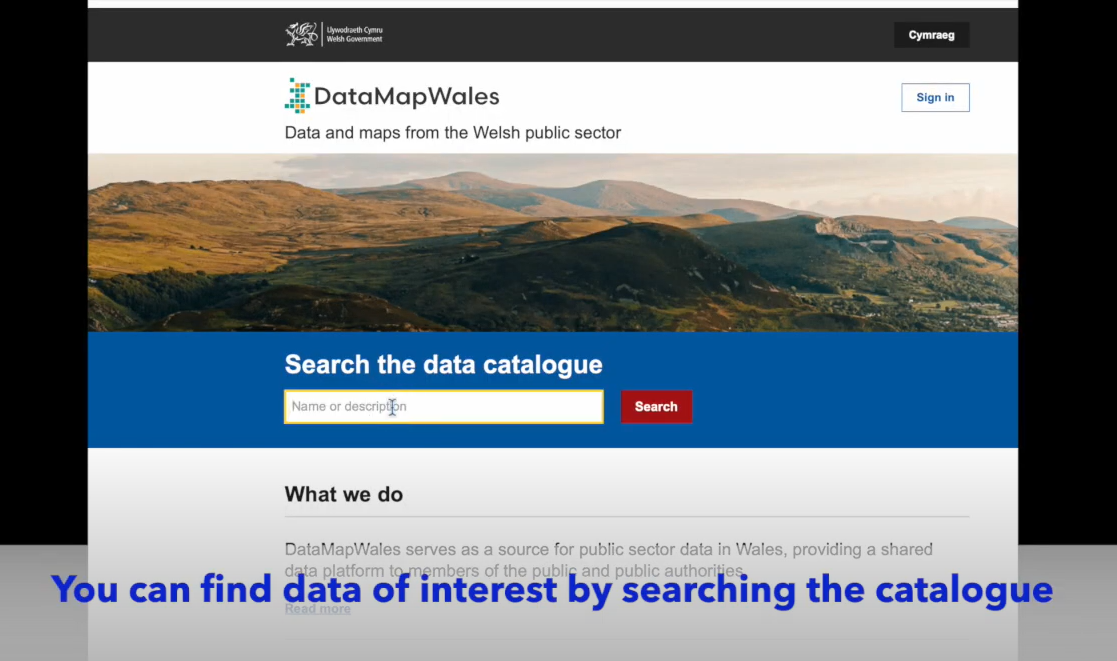
Introduction to DataMapWales
Using OGC Web Service (OWS) endpoints
OWS (OGC Web Service) is a generic term for a web service standardised by the Open Geospatial Consortium (OGC). These standards include:
- Web Map Service (WMS)
- Web Feature Service (WFS)
- Web Map Tile Service (WMTS)
- Web Coverage Service (WCS)
- Web Processing Service (WPS)
These services are used by DataMapWales to provide various spatial data related functions. When browsing the catalogue, opening a map or spatial data page will provide OWS links for WMS and WFS unless permissions have been restricted.
You can use this link in a Geographic Information System (GIS). GIS software such as QGIS and ArcGIS can connect to the OWS service and pull in spatial data to edit and analyse.
Specific instructions on using use OWS links should be present within your GIS application.